
The Philippines, a breathtaking archipelago of over 7,600 islands, showcases a world of wonders — yet only about 2,000 of these islands are permanently inhabited. While many are tiny atolls perfect for a day of blissful escape, others stand proudly among the largest islands on Earth.
Counting down from the smallest to the largest by land area, here are the largest islands in the Philippines that you absolutely need to know about.
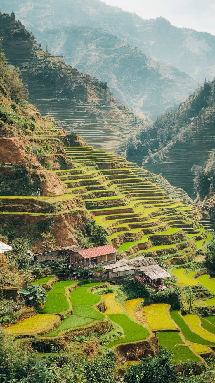
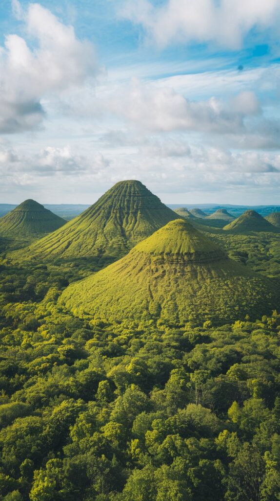
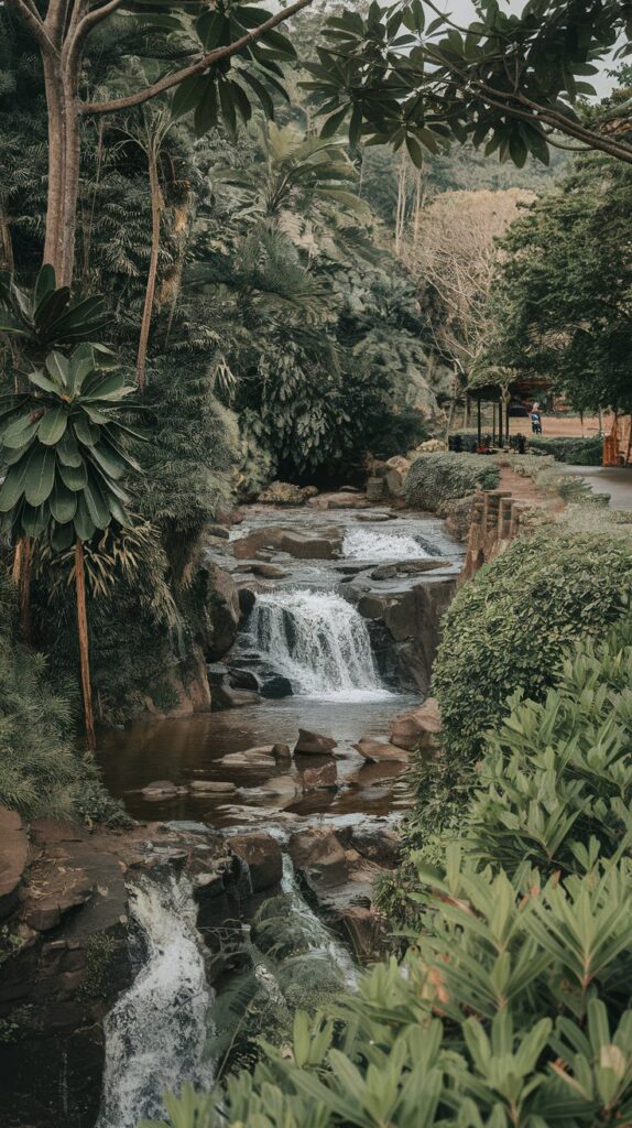
10. Bohol (3,821 km²)
Located in the province of the same name, Bohol Island is an oval-shaped gem renowned for its vibrant coral reefs, charming stone churches, and the adorable — yet mischievous — native tarsier monkeys.
The island’s most famous feature is the Chocolate Hills, a surreal landscape of over 1,200 brown, dome-shaped limestone formations. With more than 162 miles of coastline filled with hidden waterfalls and mysterious caves, Bohol offers beauty at every turn. Beyond the main island, over 70 satellite islands provide even more to explore.
9. Cebu (4,468 km²)
Nicknamed the “Queen of the South,” Cebu Island reigns as the largest island in the Visayas region and ranks as the 126th largest island in the world.
Stretching over 120 miles from north to south, Cebu dazzles visitors with its dramatic coastlines, pristine beaches, limestone hills, and vibrant offshore coral atolls. Home to over 3.5 million people, Cebu offers an exciting blend of Spanish colonial history — especially in Cebu City — while leaving vast natural areas largely untouched. As the former 17th-century country capital, Cebu, along with hundreds of smaller islands, forms the bustling Cebu Province.
8. Leyte (7,368 km²)
Located within the Visayan archipelago and linked to Samar Island by a monumental bridge, Leyte is steeped in historical significance.
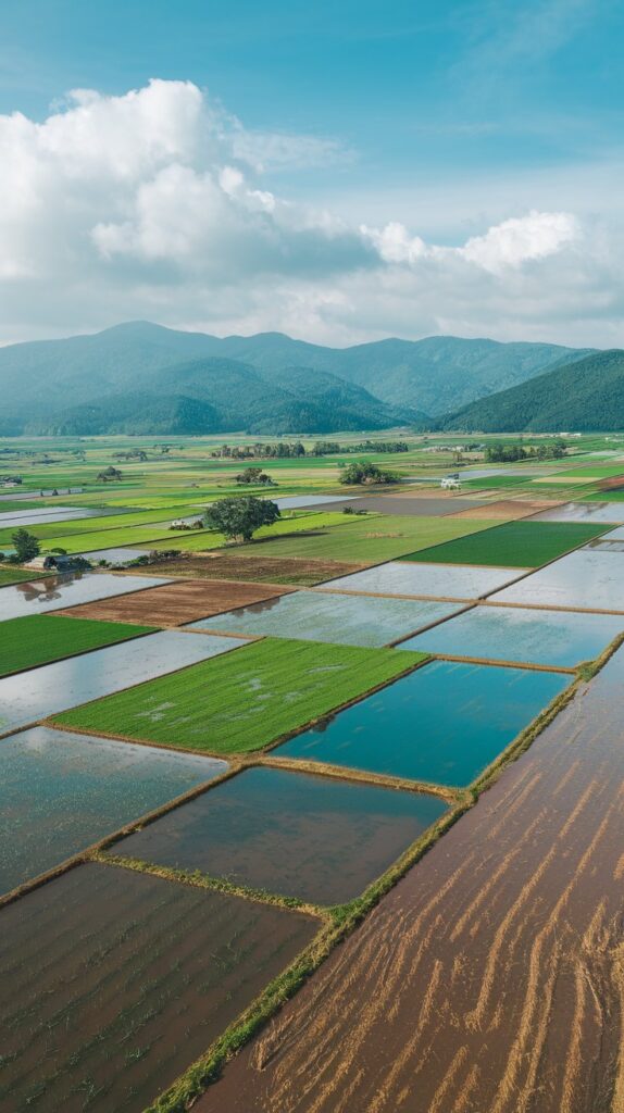
It was once home to 16th-century Spanish explorers known as the Tandaya and later witnessed the legendary four-day Battle of Leyte Gulf during World War II, the largest naval battle in history involving over 200,000 fighters. Today, Leyte has transformed into peaceful farmland, where rice, corn, coconuts, and tobacco flourish, especially in the fertile Leyte Valley.
7. Mindoro (10,572 km²)
Southwest of Luzon and northeast of Palawan lies the majestic island of Mindoro, divided into two provinces: Occidental Mindoro and Oriental Mindoro.
Spanning more than 100 miles in length, Mindoro is celebrated for its rugged valleys and the rare tamaraw, a water buffalo species found nowhere else on Earth. Beyond its natural treasures, Mindoro offers stunning white-sand beaches and serene rivers, making it an ideal fly-and-flop destination — especially outside of the monsoon season.
6. Panay (12,011 km²)
Shaped like a triangle, Panay is the westernmost island of the Visayan Islands in the central Philippines.
As the fourth most populated island in the archipelago, Panay is home to nearly 4.5 million people — roughly 4.4% of the nation’s population. While Panay boasts its own beauty with hidden caves and scenic rivers, it often serves as the gateway for travelers heading to the world-famous Boracay and its celebrated White Beach.
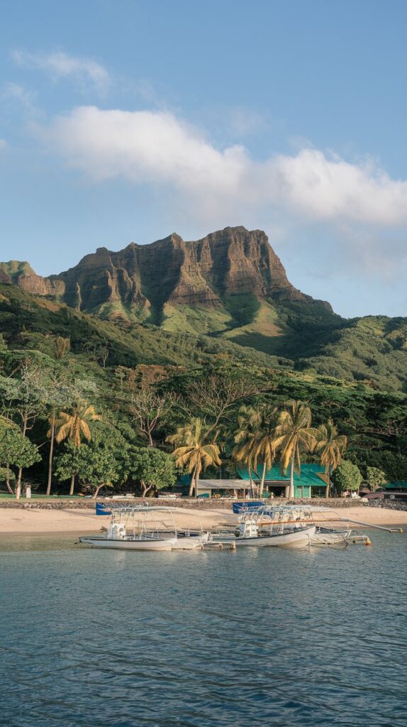
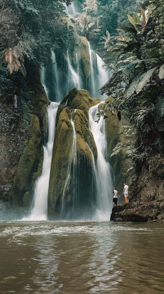
5. Palawan (12,189 km²)
Bordered by the South China Sea to the west and the Sulu Sea to the east, Palawan is the largest island in Palawan Province and one of the country’s least-developed natural treasures.
Tourists flock here not for sprawling resorts, but for untamed jungle landscapes, powdery white beaches, and rich wildlife. Known as the “last ecological frontier” of the Philippines, Palawan’s commitment to conservation has preserved its breathtaking scenery. In fact, Palawan was crowned the “Most Beautiful Island in the World” in 2016 by both Condé Nast Traveler and Travel + Leisure.
4. Negros (13,310 km²)
Shaped like a boot, Negros is one of the jewels of the Visayas, bordered by the Visayan Sea to the north and the Sulu Sea to the south.
Negros is famous for its wealth — thanks to its abundant sugarcane fields, copper and coal mines, and vibrant agriculture. While the land yields corn, coconuts, rice, and fruit, the waters surrounding Negros are equally generous, offering some of the finest diving spots in the Philippines, with thriving coral gardens and underwater reefs.
3. Samar (13,429 km²)
Samar, the easternmost island of the Visayas group, sits surrounded by the Samar Sea, Philippine Sea, and San Bernardino Strait.
Connected to Leyte by the San Juanico Strait, Samar is made up of three provinces. About one-third of its land is protected by the Samar Island Natural Park, the largest continuous stretch of old-growth forest in the Philippines. Though it lacks towering peaks, Samar’s hilly landscapes, coastal plains, and floodlands offer breathtaking natural beauty.
2. Mindanao (97,530 km²)
Mindanao, a sprawling island in the southern Philippines, is an extraordinary landscape of mountains and volcanoes.
Stretching nearly 300 miles from north to south and bordered by multiple seas, Mindanao is home to Mount Apo — the country’s tallest mountain. It also has the greatest ethnic diversity in the Philippines, including groups like the Maranao, Maguindanao, and Sangil peoples. Often called the “pioneer frontier,” Mindanao’s economy thrives on fertile agriculture, producing corn, rice, fruit, coffee, and cacao.
1. Luzon (109,965 km²)

The crown jewel of the Philippines, Luzon is the largest and most populous island in the country, and the 15th largest island on Earth by land area.
Located in the north, Luzon serves as the nation’s political and economic powerhouse. Home to more than 50 million people — over half of the Philippines’ total population — it also ranks as the fourth most populated island globally. Luzon’s energy and influence are unmatched, making it a must-know centerpiece of the Philippines.